
Topographische Karte (TK 25)
Culmsee / Kulmsee 1 909
find online: official maps from 1909
Topographic map, scale 1 : 25000
TK 25 = Topographische Karte 1 : 25000 = 4 cm = 1 km
English: https://en.wikipedia.org/wiki/Topographic_map
German: https://de.wikipedia.org/wiki/Topografische_Karte
named, too: Messtischblatt (ordinance survey map / plane survey sheet)
number: TK 25 2877 Culmsee
Quelle (source): Bundesamt für Kartographie und Geodäsie
e.g. from 1909
attention! size of downloads >10 MB up to 15 MB
http://igrek.amzp.pl/TK25_2877
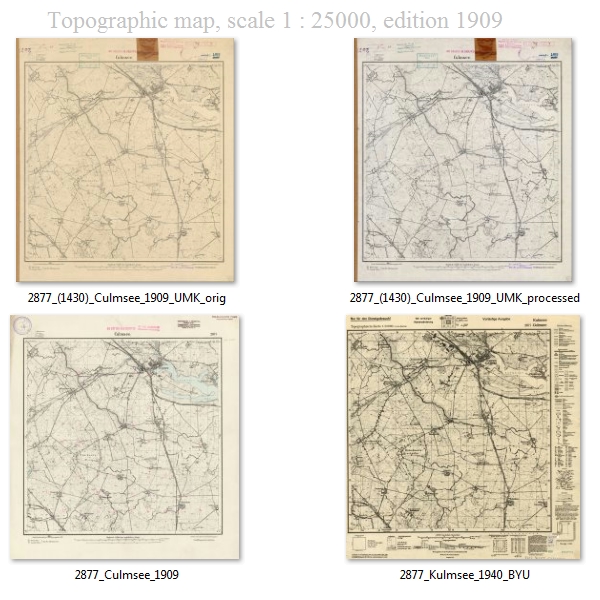
4 ancient versions:
http://maps.mapywig.org/m/German_maps/series/025K_TK25/2877_Culmsee_1909.jpg
http://maps.mapywig.org/m/German_maps/series/025K_TK25/2877_(1430)_Culmsee_1909_UMK_processed.jpg
http://maps.mapywig.org/m/German_maps/series/025K_TK25/2877_(1430)_Culmsee_1909_UMK_orig.jpg
change of name Culmsee > Kulmsee:
http://maps.mapywig.org/m/German_maps/series/025K_TK25/2877_Kulmsee_1940_BYU.jpg
official maps from 1909 (but attention!) picture links download size each >10 MB up to 15 MB: Topographic map, scale 1 : 25000

source: http://igrek.amzp.pl/TK25_2877
![]()
829 views