compilation of maps (19th, 20th century)
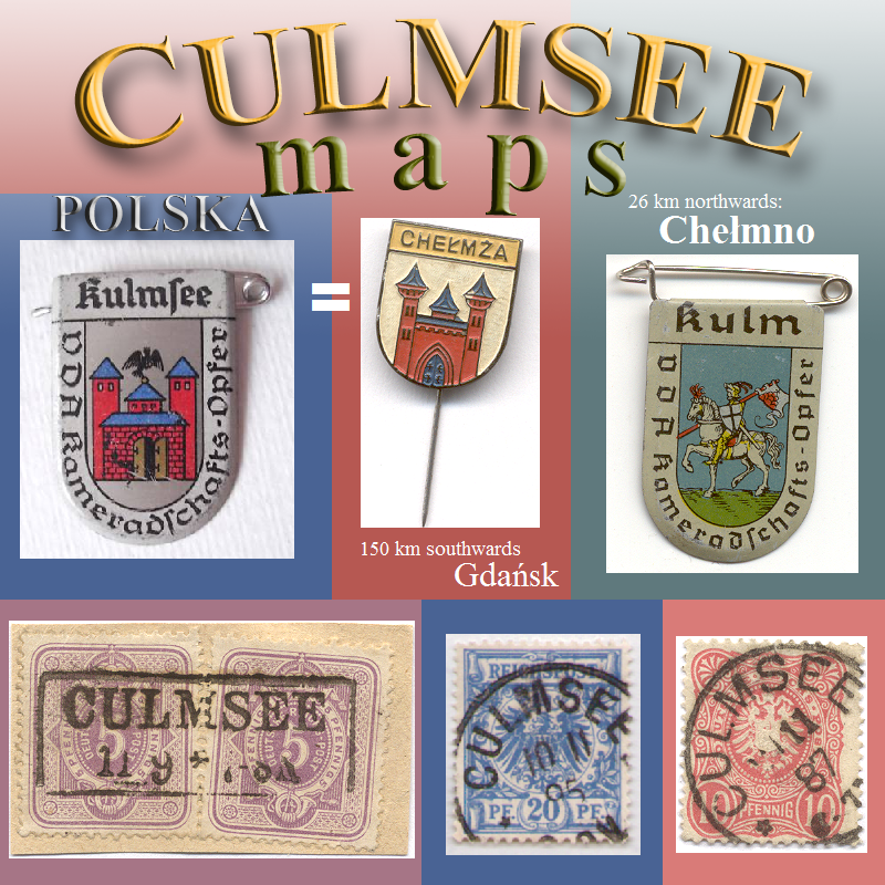
Culmsee / Kulmsee / Chełmża
… cuts can be enlarged by a click onto …
area of river Vistula
historical water route at historical landscape
German: Weichsel
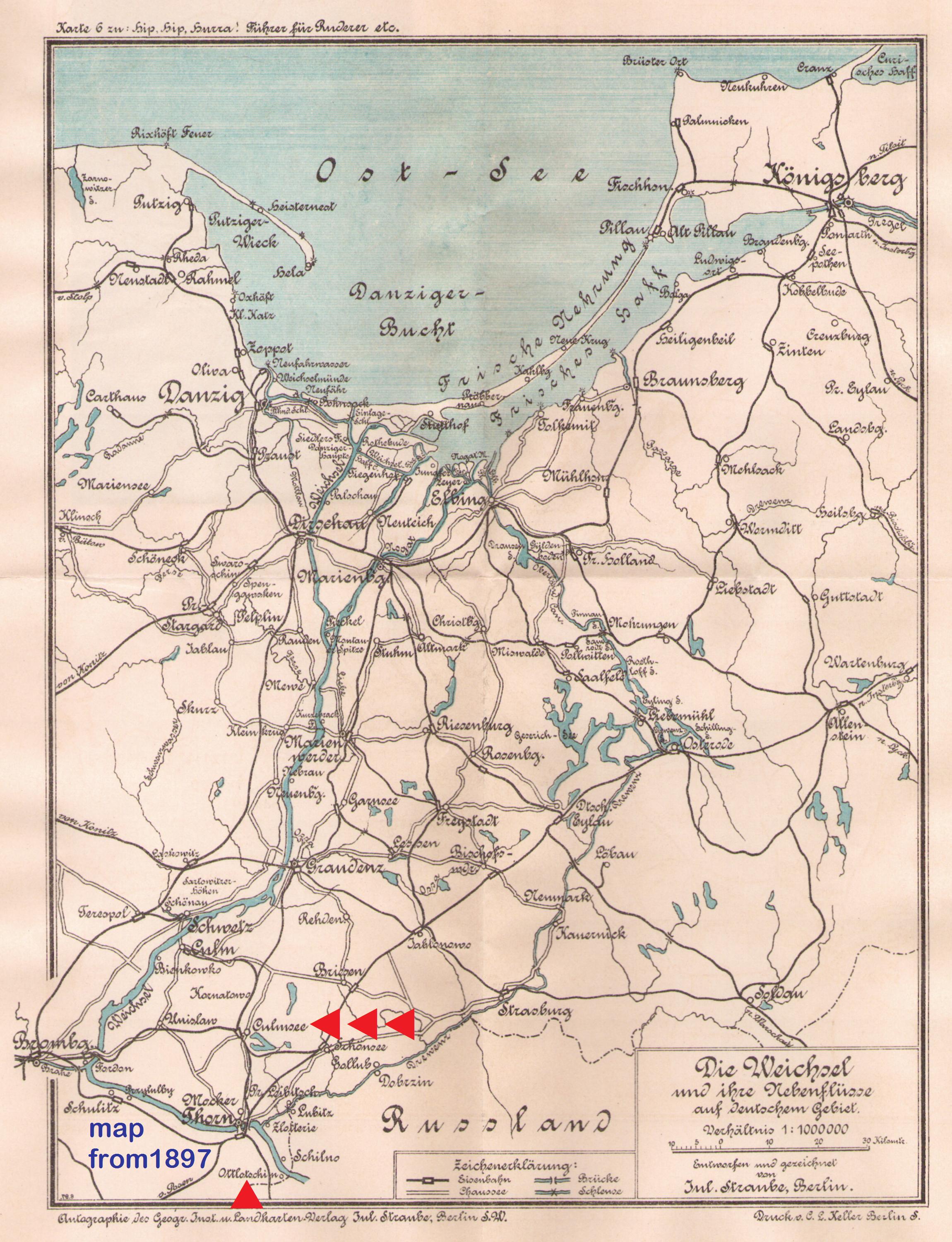
 Culmsee Karte 1897 Weichsel (Vistula) Rudern (rowing)
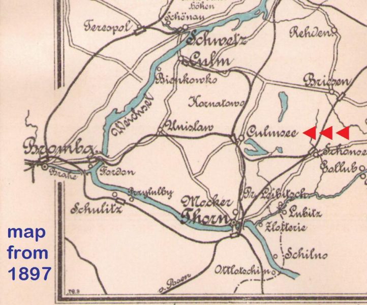 Culmsee Karte 1897 Weichsel (Vistula) Rudern (rowing) cut
railway lines
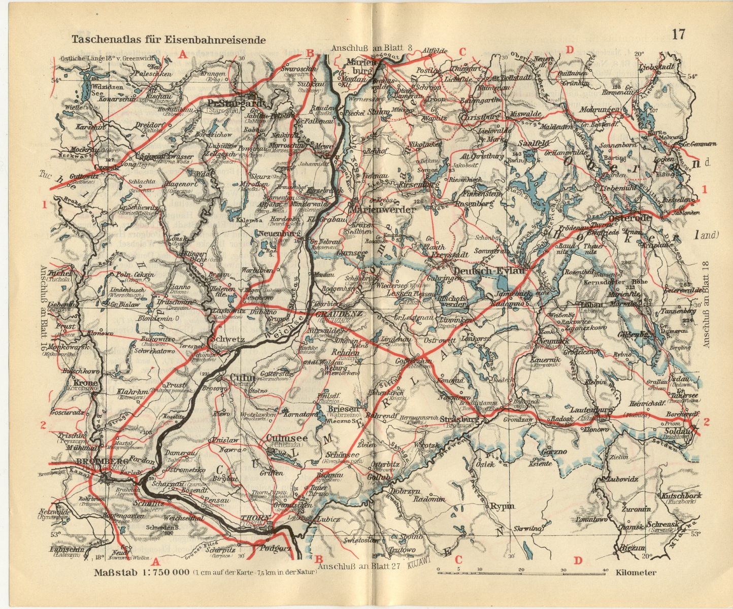
 Culmsee railroad map 1909
for railroad travellers
 Eisenbahnkarte Culmsee Taschenatlas (pocket atlas) 1925
 Culmsee 1925 Eisenbahn- u Verkehrsatlas – cut (pocket atlas)
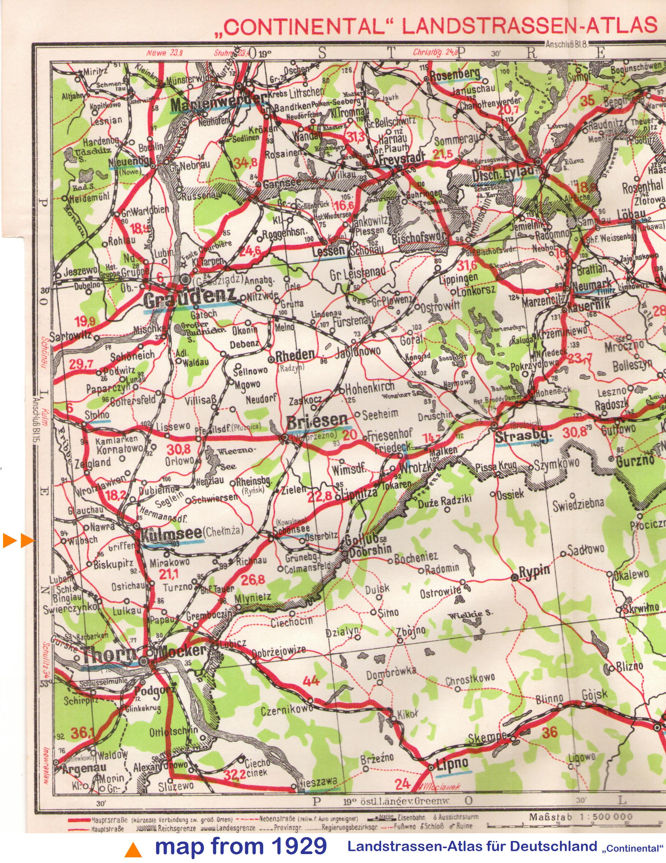
country roads
 Kulmsee 1929 Landstrassen-Atlas – cut
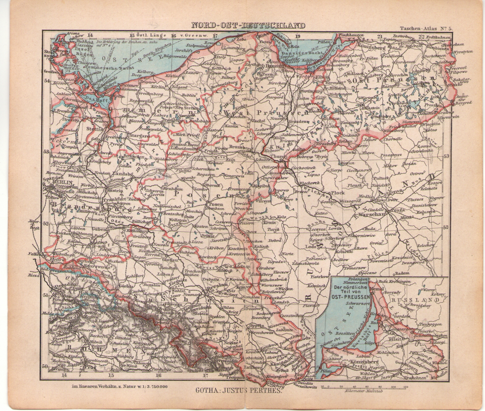
North-East-Germany: „Kulmerland“
 Karte N-O-Deutschland 1940ies Kulmerland
… will be continued …
 MAPS from Culmsee / Kulmsee / Chełmża area

1.270 views